
Where to find information on local rivers and flood warnings
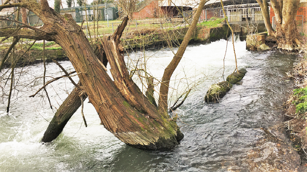
Our photo above shows the Kennet river at the weir by Newbury library today. The river’s level is reasonably high at the moment.
If you want to keep track of our local rivers, the UK government has a web page devoted to each of them – the Kennet and the Lambourn.
On it, a graph shows the level of each river for the past five days. There’s also link to any local flood warnings that are in place.
For example, when the photo above was taken, the latest recorded level of the Kennet was 1.07 metres at Newbury. To get this into perspective, the highest level of the Kennet ever recorded at Newbury was 1.49 metres. There is one local flood warning in place at the moment for the River Kennet – for the Great Shefford area.
The height of the River Lambourn is currently measured at 0.86m at Lambourn itself (compared to the river’s highest-ever recorded level of 1.43 metres). Related to the River Lambourn, there are currently two flood warnings in place for Great Shefford and the Lambourn Valley catchment area.
You can look at the River Kennet page here – and the River Lambourn page here.
The government also provides some tips on how to stay safe around rivers here.